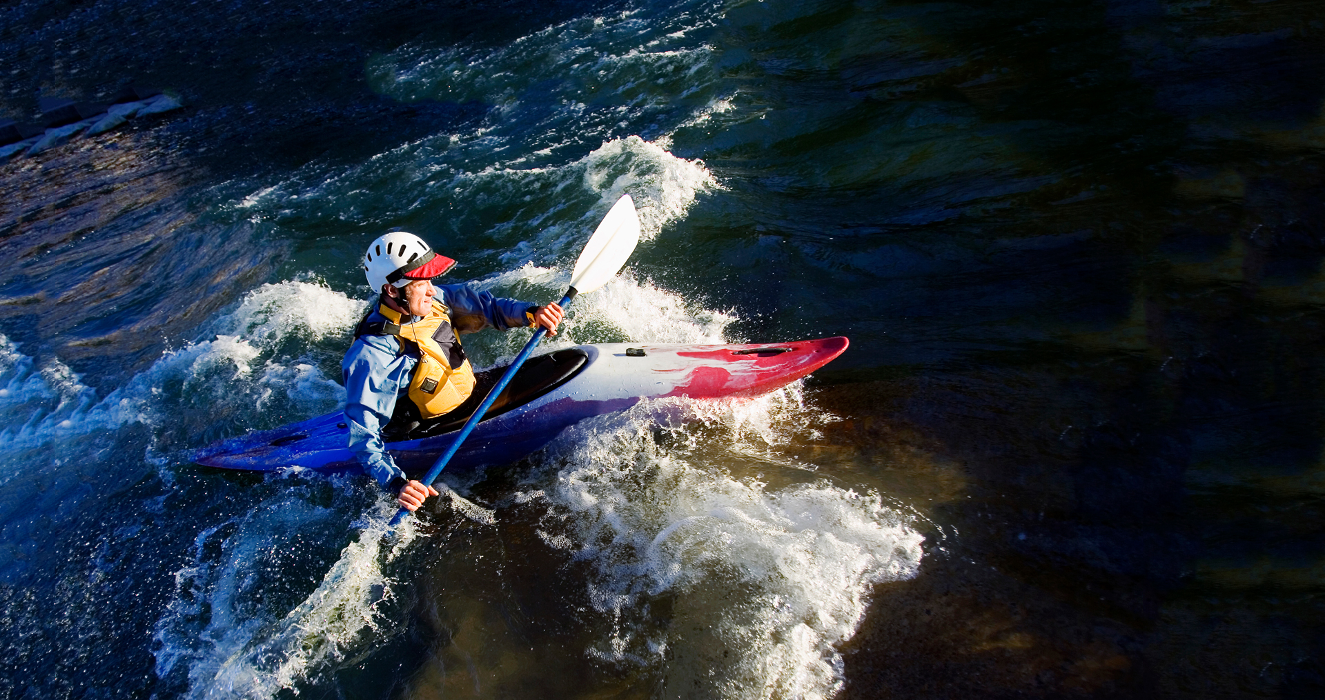
Idaho Power’s operations influence the Snake River. However, there are many other factors affecting the flow in the Snake River, including spring flows, irrigation demand, flood control, snowpack, navigation and special flows for salmon, construction projects and local events.
The Snake River is the backbone of our clean energy mix and also the lifeblood of area recreationists. Learn more below about water flows and water quality so you can enjoy the water safely.
Call 1-800-422-3143, toll-free, for the latest stream flow and reservoir water level information.
See our river flow projections for the Snake River below Hells Canyon Dam.
See the water level elevations at the different boat ramps on Brownlee Reservoir
Find maps and flow information about various locations on the Snake River and its tributaries.
Find water temperatures and dissolved oxygen levels at specific sites.
Learn more about algal blooms, which can create a potential hazard for humans and animals.
Learn more about possible whitewater releases for the Milner Mile, officially listed as the Milner Bypass Reach of the Snake River.
Each year, tens of thousands of people visit waterways and parks near Idaho Power dams. We think the more you know about dams, the safer you’ll be.
Get instructions for using Idaho Power’s Wi-Fi Flow Monitoring System in the canyon.
Why does the water level in Brownlee Reservoir change so much? Find out the answer to this and other questions here.
External links:
